Here are 2 pictures of how we are measuring the water level. Using the bunyip water level from my previous post, we are now able to choose a water level based on being a bit lower than the lowest “shore line” point of the pond and mark it all around the pond using red ribbons on planted sticks:
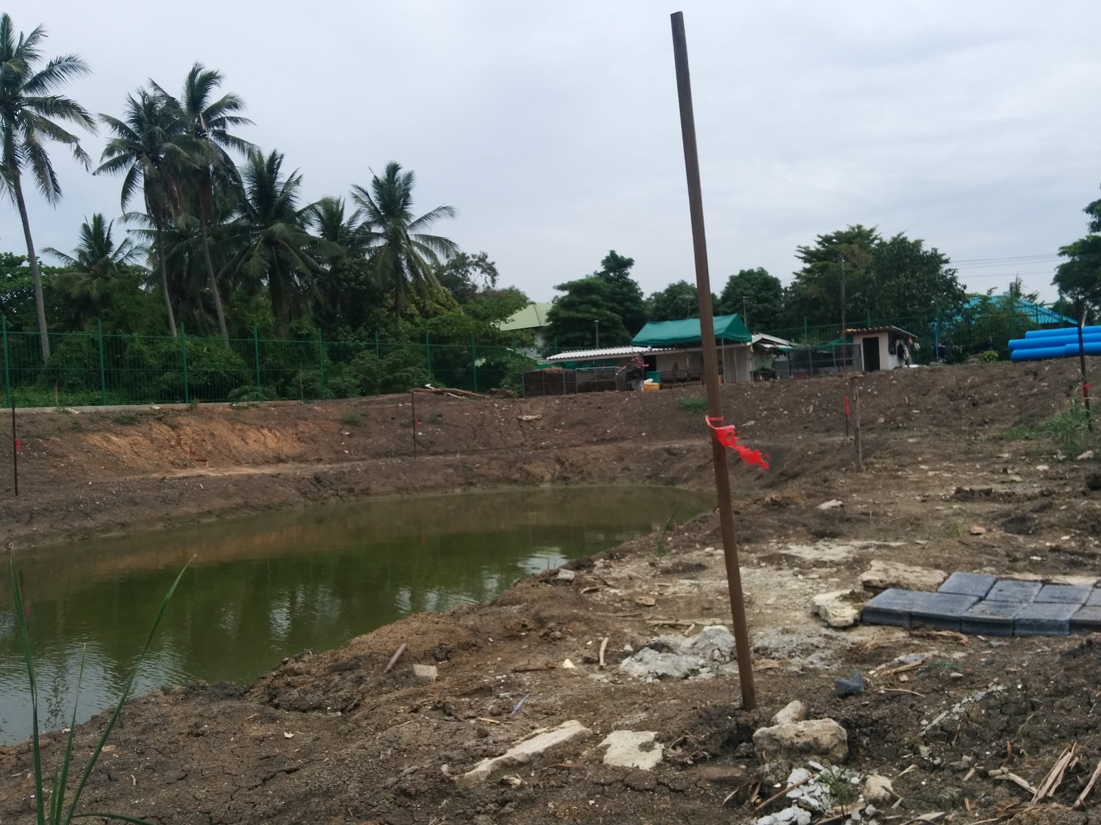

(You probably need to zoom up, but there are sticks all around the pond with red ribbons on them marking the water level.)
I’m pretty confident now that these measurements are accurate.
The shallow ring of soil around the pond will be 1.3m below water level (the red ribbons). The deeper water in the center should be another 1.5m deeper, for a total water depth in the center of about 2.8m.
The excavator is already rented, and we are starting on the new digging today.